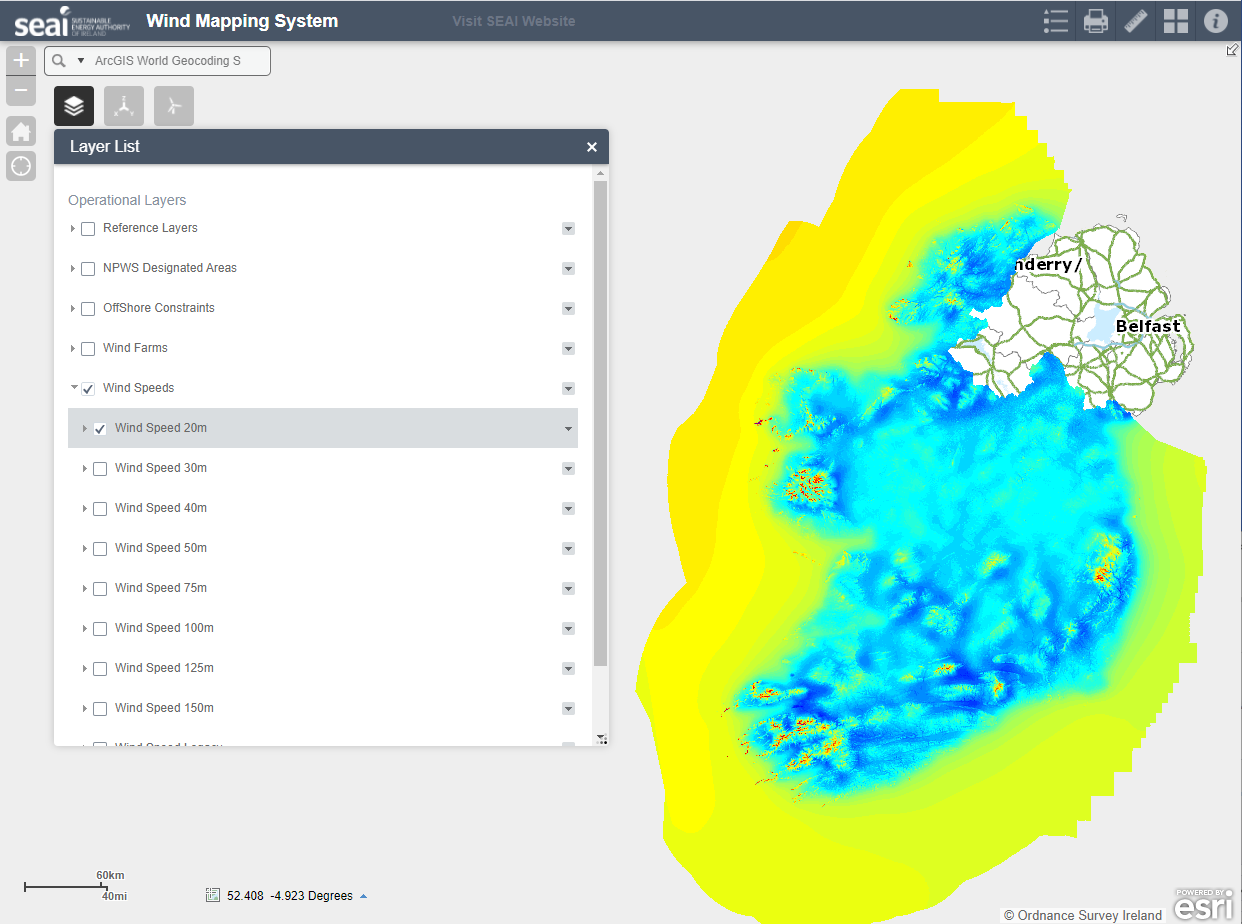
Mean average wind speeds in metres per second (m/s) at 30m above ground level. These datasets cover the geographic land area of Ireland and Irish Internal Waters. Data compilation was completed in 2013, by analysing measurements taken during 2001--2010.
Zipped collections of shapefiles are available in two spatial reference or coordinate systems:
1) Irish Transverse Mercator (ITM, EPSG:2157)
2) WGS 84 Web Mercator (EPSG:3857)
The Sustainable Energy Authority of Ireland (SEAI) offers the same data in its Wind Atlas, a digital map of Ireland's wind energy resource (http://gis.seai.ie/wind). SEAI's wind speed datasets assist wind energy planners, developers and policy makers.
 Derilinx